Trust and answers
What happens to your data, who is accountable for the flights, and why you can trust the report
-
Every pixel is a temperature
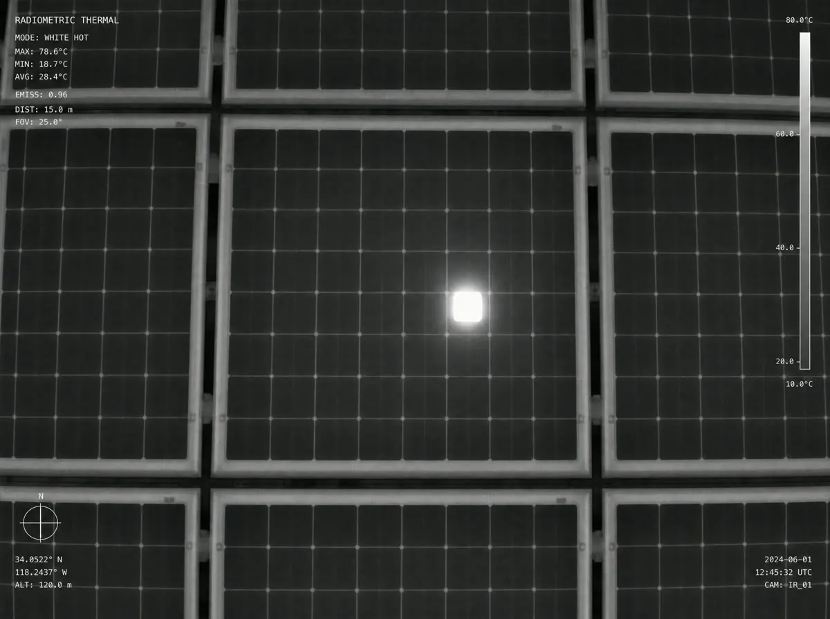
Radiometric R-JPEG: a 1.3 MP thermal matrix where every pixel of the frame carries a temperature reading, accurate to ±2 °C.
-
Shot to the IEC TS 62446-3 spec
The standard requires at least 5×5 pixels per cell — we capture 8×8+ from 30–40 m, and every defect is pinned to its panel with centimetre-level RTK accuracy.
-
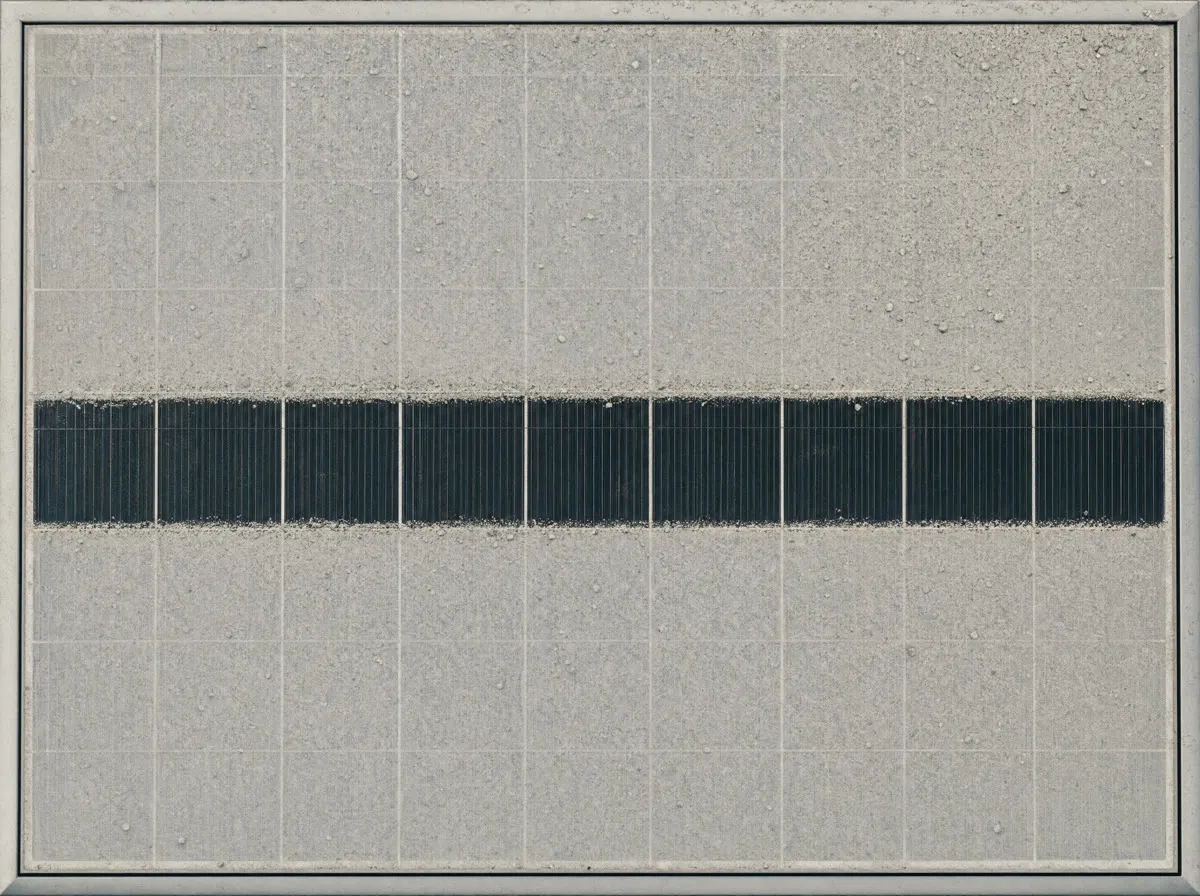
Defects compound quietly
Industry-wide, stations lose about 5% of DC capacity on average; sites with regular drone inspections keep losses near 3% (Raptor Maps, 373 GW).
Proof
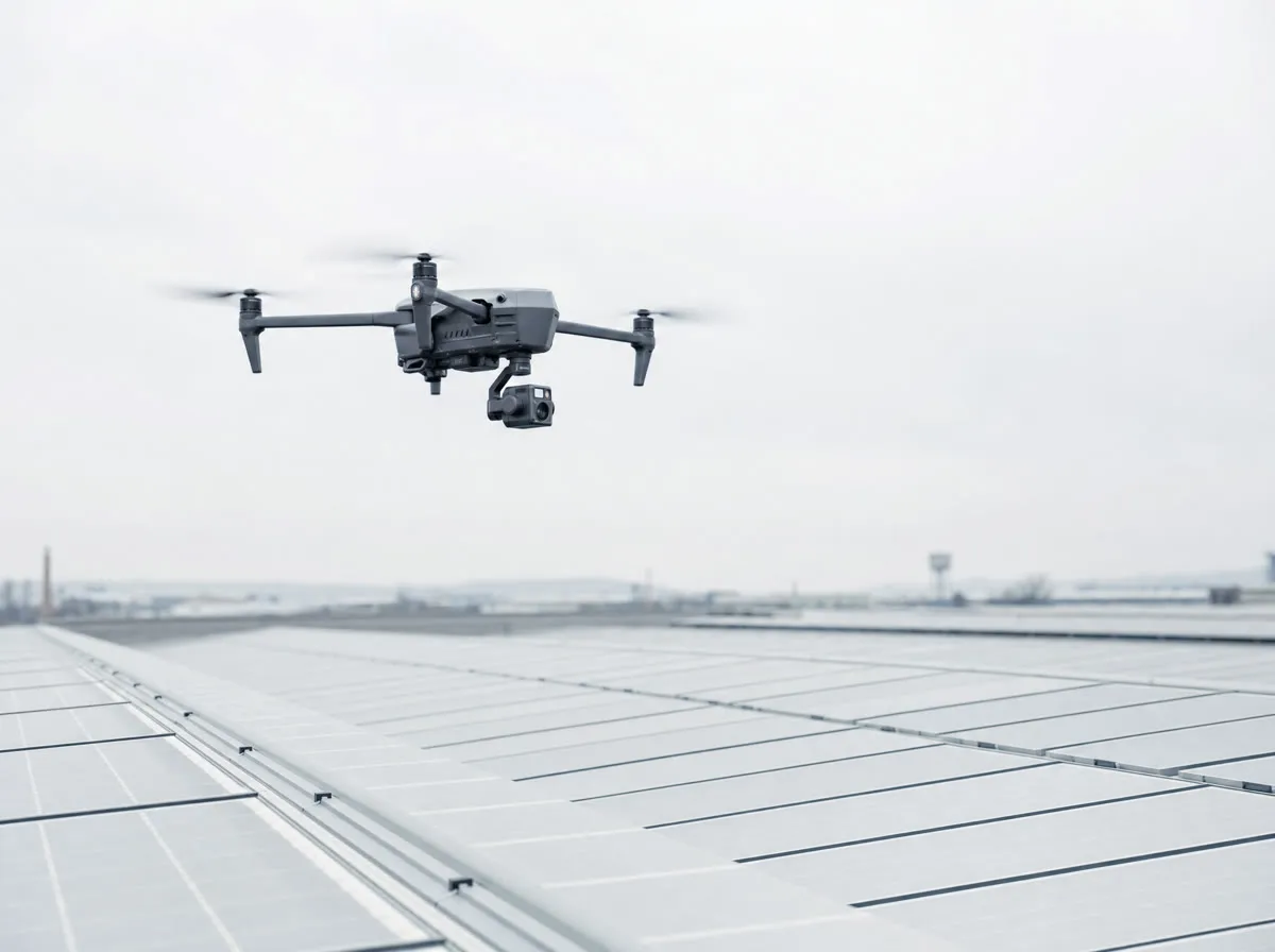
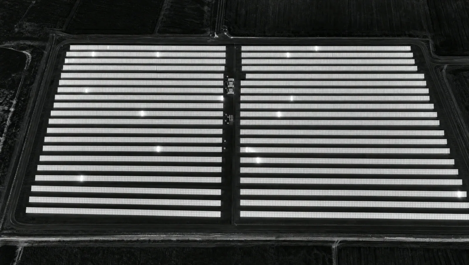
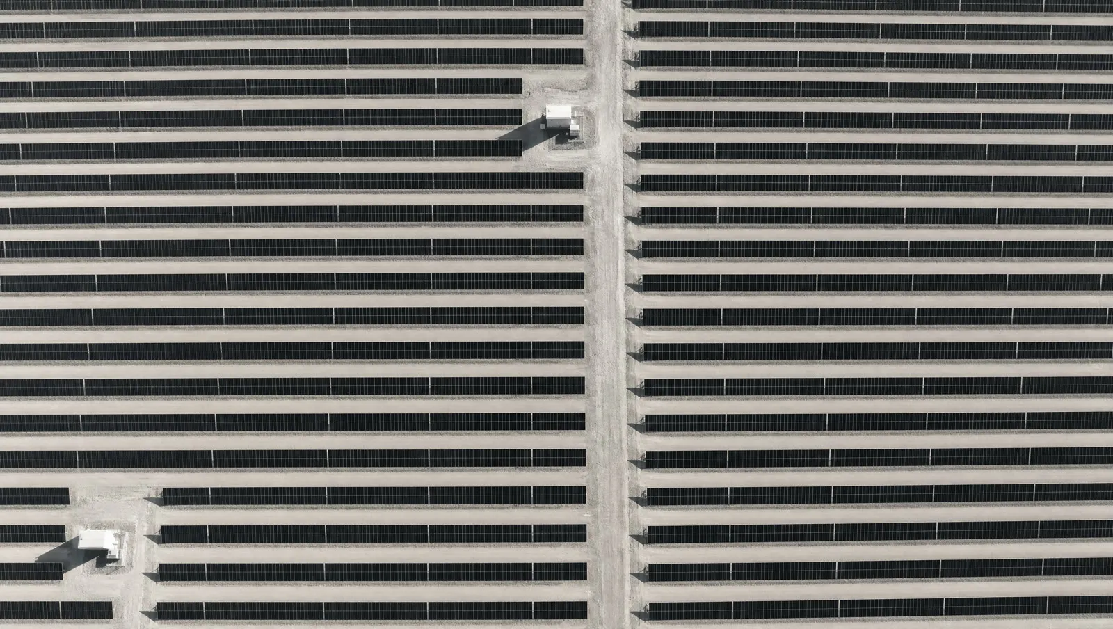
One flyover — the thermal signature of every module
- 15+ defect types
- pinned to the panel on the station map
- classified per IEC 62446 standards
Security
The full clearance cycle is on us
- Flights cleared with aviation and border authorities
- Imagery, defect maps and reports belong to you
- NDA with the client on request
- Classification and reporting per IEC 62446 standards
Answers
-
No. The drone surveys while the station operates — generation is not interrupted.
-
Every finding is checked by a validation engineer. False positives are filtered out before delivery.
-
We do. The full clearance cycle with aviation and border authorities is on our side. Zero forms from you.
-
The report is ready within 72 hours.
-
An online dashboard with a defect map, prioritization by generation losses, and a repair plan per IEC standards.
Full station diagnostics — in 72 hours
From flyover to a finished report with a repair plan. We'll demonstrate at your site.
Leave a request
We'll contact you and arrange a convenient pilot time
By clicking "Submit", you agree to the processing of data